
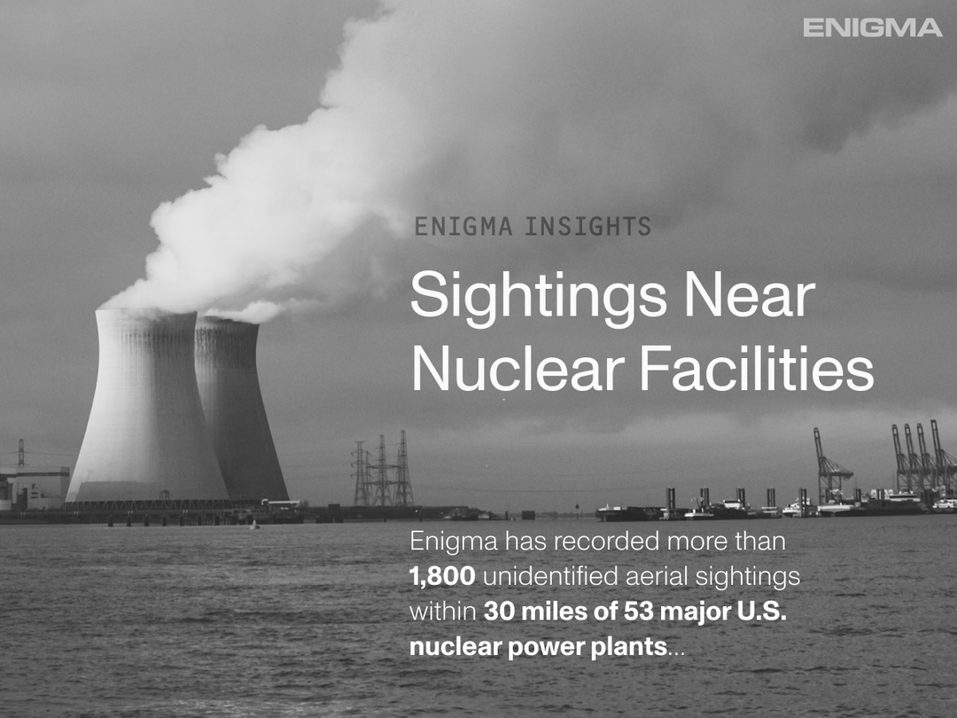
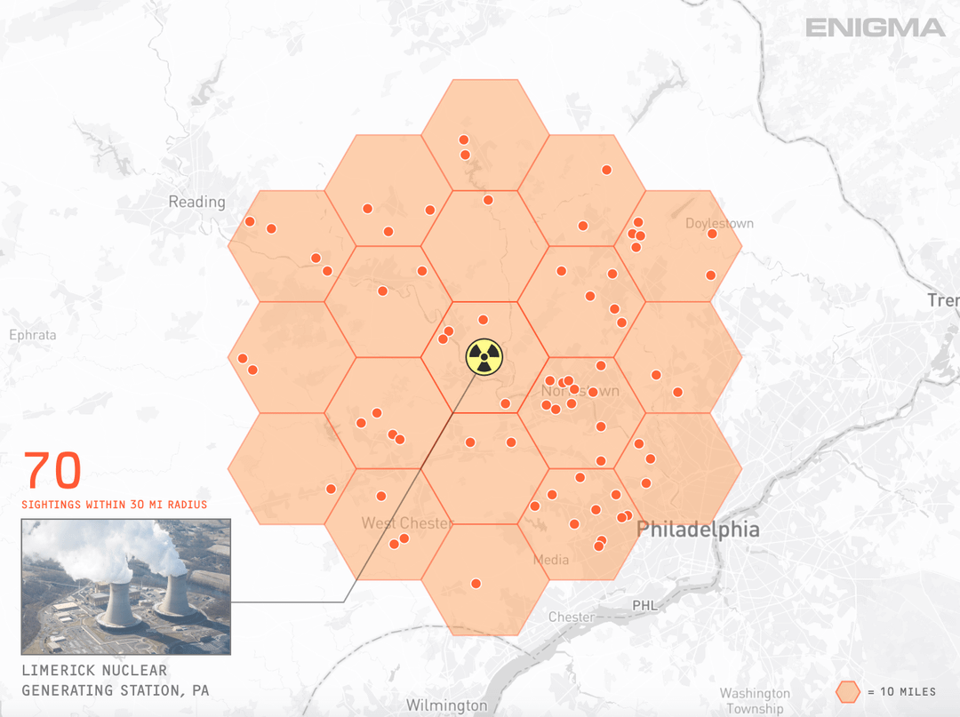


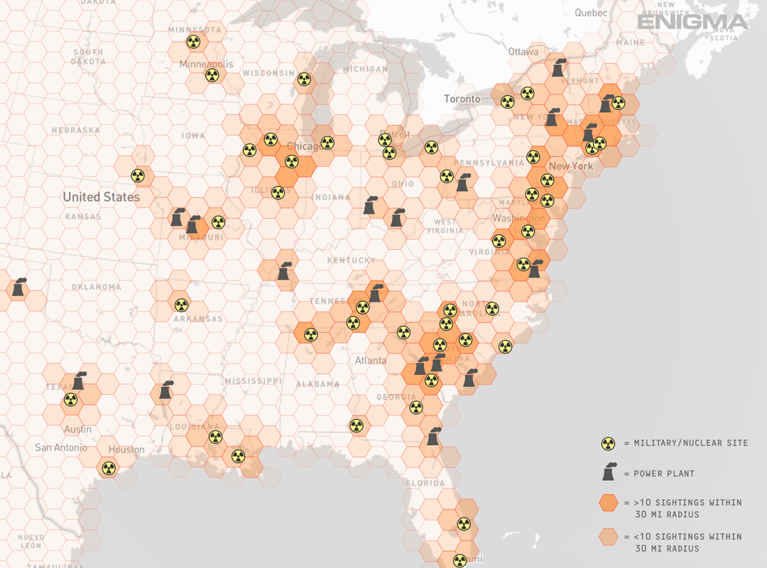
This is part of a larger analysis. Below are a few localized examples of reported aircraft and drone activity within ~30 miles of individual power generation sites. The final image zooms out to a broader U.S. view for to show density. Curious how you all think about airspace monitoring around power facilities?
Source: Enigma_Labs