
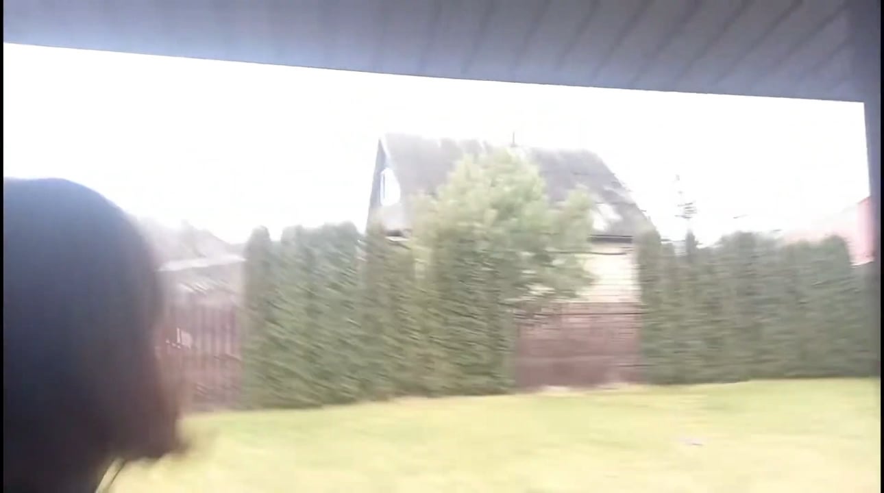
Geolocation: 50°36'21"N 30°33'17"E (This location has been strictly verified down to the meter. It actually took me three days to pinpoint this specific spot—it was quite a challenge.)
I've noticed several YouTube channels often use incorrect footage or timelines regarding the Battle of Hostomel. Given the historical importance of this battle, I believe it deserves to be reconstructed as accurately as possible. To correct the record, I am compiling rare, strictly verified clips that haven't been widely circulated.
This video provides new evidence regarding the Russian helicopter formation's flight path that day. It appears that they did not simply follow the Dnieper River all the way south, as commonly believed.
I have included reference images to map out the distinct paths of the two helicopter formations on that day, reconstructed based on available evidence.
Source: RAINDAYS1